
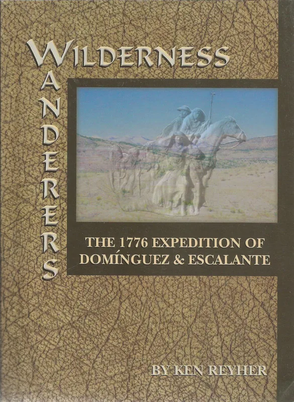
Wilderness Wanderers
by Ken Reyher
Way back in 1776, two Catholic priests and a small group of men began their exploration of what was to become western Colorado, Utah, eastern Arizona, and northern New Mexico. Their goal was to find an overland trade route from Santa Fe to Spanish missions on the California coast. A detailed diary of their adventures was kept and remarkably accurate maps were generated. From these author Ken Reyher has retraced every foot of their route, making several important discoveries of why they went where they did.
- Published
- 2003
- ISBN
- 978-1-890437-91-6
- Pages
- 184
- Category
- History
- Place
- Colorado
- Publisher
- Western Reflections Pub. Co.
- Listed at
- $16.13
Publication details from Open Library. The price shown is the last one on record and is historic, not a current offer.
- Direct from us info@westernreflectionspublishing.com or (336) 565-6915. We pack and post from Lake City.
- Amazon Buy from Amazon.
- Any bookshop Quote ISBN 978-1-890437-91-6 and your local bookseller can order it.
About this book
Wilderness Wanderers tells of an exploring party that set out in 1776 across country that is now western Colorado, Utah, eastern Arizona and northern New Mexico. Two Catholic priests led a small group of men. Their goal was to find an overland trade route from Santa Fe to the Spanish missions on the California coast.
The party kept a detailed diary, and it produced remarkably accurate maps. Ken Reyher uses both. According to the description, he has retraced every foot of their route and made several important discoveries about why they went where they did. That field work is what sets the book apart from a retelling of the journal.
Open Library files the book under the Dominguez Escalante Expedition of 1776, along with explorers, Franciscans, discovery and exploration, and description and travel. If you have read the expedition's story elsewhere, this is a chance to see the route again through someone who walked it. If you have not, the book works as an introduction. It runs 184 pages and was published by Western Reflections in 2003.
What is inside
A trade route to California
The party hoped to find an overland route from Santa Fe to the missions on the California coast.
Two priests and their men
Two Catholic priests and a small group of men made the exploration.
The diary and maps
A detailed diary was kept and remarkably accurate maps were drawn.
A route walked again
Reyher retraced every foot of the route from those records.
Why they went where they did
His retracing led to several important discoveries about the choices the party made.
Who it is for
This is a book for readers of Spanish colonial and exploration history, and for hikers and backcountry travelers who want to follow an old route in their own minds. Western Slope residents may enjoy reading about country they know across Colorado and Utah. Teachers and librarians will find it useful for the 1776 theme. It is nonfiction, with the author's own field retracing as its distinctive element, and it is easiest to enjoy if you like maps and landscape as much as the people.
About the author
Ken Reyher has hiked long stretches of pioneer trails alone, carrying only the tools, food and clothing of a century and a half ago, according to his own description. That habit explains the retracing in this book. He lives outside Olathe, Colorado. His author page lists his four other books with us.
The place and the period
The expedition left Santa Fe on July 29, 1776, according to the National Park Service. Franciscan friar Atanasio Dominguez was in charge, and friar Silvestre Velez de Escalante kept the journal. They were looking for a northern route to the newly established missions at Monterey, California. Two Ute guides traveled with them, and Wikipedia adds that cartographer Bernardo de Miera y Pacheco came along.
Wikipedia traces the route from Santa Fe north to Abiquiu, then into Colorado near Durango, past the Mancos River, along the Dolores and San Miguel rivers, and on toward Montrose and the White River near Rangely. In Utah they crossed the Green River and reached the Utah Lake valley around September 23. Snow in the mountains ahead, mounting hardships and worries about a guide leaving led them to turn south.
The return was hard. The NPS says they lost about a month finding a crossing of the Colorado River, now under Lake Powell, and ate many of their horses. Wikipedia reports that they reached Santa Fe again on January 2, 1777. The NPS calls Escalante's diary the best known document describing the region at that time.
Source: National Park Service, The Dominguez and Escalante Expedition
Good to know
What expedition is the book about?
Did the author walk the route?
Did the party reach California?
How long is the book?
Where can I buy it?


Have a book of your own?
This is the kind of book the house publishes: regional history, biography, memoir and the stories that belong to a place. Send us yours and a person will read it.